


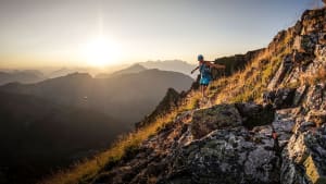


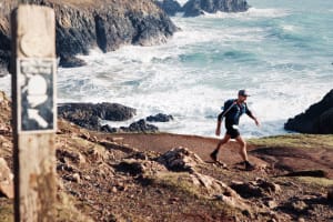


Tarawera Ultra-Trail by UTMB is New Zealand's Premier trail running event held in Rotorua, New Zealand’s birthplace of tourism.
Haere Mai, welcome to Tarawera Ultra-Trail by UTMB
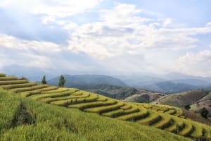
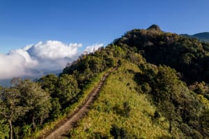
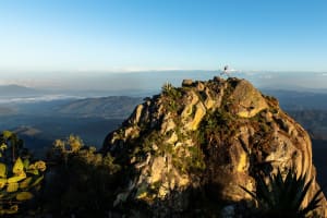
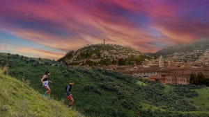
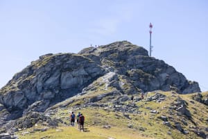
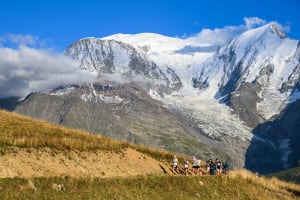
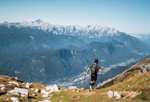
Our spectacular courses take in the most stunning scenery imaginable, featuring eight different lakes, waterfalls, and the lushest native New Zealand forests. Whether you choose the T21, T50, T102 or the TMiler, our friendly trail running community welcomes athletes of all abilities with open arms. Courses are all point-to-point, on mostly non-technical runnable terrain. They are designed with the aim of seeing everyone succeed. Join us in Rotorua and experience this special land and its people.

Distances to suit every ability

Opening soon

Race Category
Running Stones
4
Distance
162.5 KM
Elevation Gain
3832 M+

Opening soon

Race Category

Running Stones
3
Distance
104.6 KM
Elevation Gain
2680 M+

Opening soon

Race Category
Running Stones
2
Distance
52.7 KM
Elevation Gain
1166 M+

Opening soon

Race Category

Running Stones
1
Distance
23.1 KM
Elevation Gain
394 M+